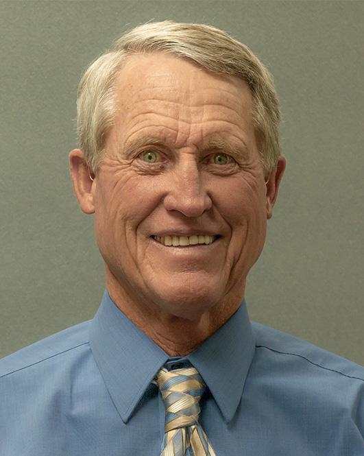
Surveyor
The County Surveyor is an elected official who has duties and powers pursuant to C.R.S. §30-10-903 and is responsible for maintaining an index system for all plats filed by surveyors with the County in accordance with Colorado law, and pursuant to C.R.S. §30-50-101(2)(a)(I).
The County surveyor settles and resolves any boundary disputes and reviews subdivisions and survey plats.
Ph. (719) 587-3630 Ext. 1101
6820 South Highway 17
Alamosa, CO 81101
Monday-Friday 8:00 a.m. - 5:00 p.m.
CONTACT

County Surveyor
Dan Russell
Photo Credit: NPS/Patrick Myers
Frequently Asked Questions
- What is a Professional Land Surveyor?
-
Per Colorado Revised Statutes 12-25-202(7): “Professional Land Surveyor” means an individual who practices professional land surveying and w ho is currently registered with the board after demonstrating competency to practice, as define d by section 12-2 5-214. Registration is earned through years of education and experience and successful completion of a series of licensing examinations.
- What is a Land Survey?
-
A land survey is performed for the purpose of locating, describing, monumenting and mapping the boundaries and corners of a parcel of land. It may also include mapping of the topography of the parcel, and the location of buildings or other improvements upon the parcel.
- When should I have my land surveyed?
-
You should have your land surveyed:
- Before you purchase it. This will disclose the relationship between the lines of possession and the deeded property lines.
- A lending institution may require either a Land Survey Plat or an Improvement Location Certificate of your property when you borrow money on it.
- Whenever you believe there may be a conflict of use on your property.
- Prior to dividing any parcel of land for sale.
- The county or city that your property is located in may require a Land Survey prior to the construction of any structure or improvement on the property.
- When you intend to sell any tract of land.
- When your lawyer, architect, real estate agent or municipal planning or engineering office advises or requires it.
- What can a Professional Land Surveyor do for me?
-
The Professional Land Surveyor can:
- Review your deed along with other evidence and render a professional opinion as to the locations and conflicts of the boundaries of your land.
- Set monuments at your property corners and mark them so they can be easily found and identified.
- Keep an accurate record of all services performed and measurements obtained.
- Identify and advise you of any apparent defect in your land description or evidence of conflict of ownership and/or use.
- Prepare a plat or map of your property indicating boundary measurements, the monuments found and placed, and the calculated area.
- Provide the client with copies of these maps bearing the Professional Land Surveyor’s signature and seal. Copies of these maps will also be filed in the County Records where the land is located. This will ensure that the plat or map is available for public inspection.